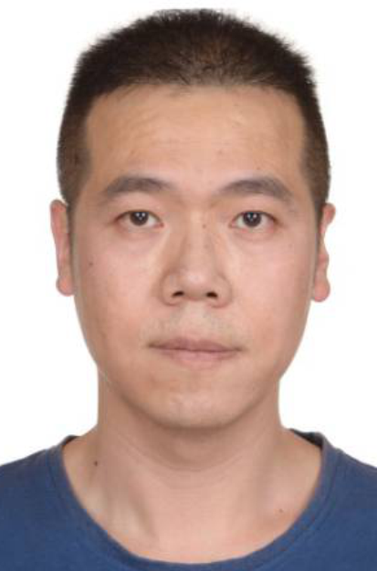
研究队伍

|

|
||||||||||||||||||||
简历:
中国科学院西北生态环境资源研究院副研究员,硕士研究生导师。主要从事土壤水分传感器网络空间优化采样设计、土壤水分尺度转换以及土壤水分遥感产品评估等方面的研究,制定了土壤水分遥感产品真实性检验的国家标准规范一项(排名第二)。发表第一作者论文10篇,其中SCI论文9篇。先后主持国家自然科学基金项目2项,其中青年科学基金和面上项目各一项。
研究领域:
地图学与地理信息系统(土壤水分尺度转换、空间优化采样、数据融合)
职称:
副研究员
职务:
无
获奖及荣誉:代表论著:
(1)Kang, J., R. Jin, and X. Li, Regression Kriging-Based Upscaling of Soil Moisture Measurements From a Wireless Sensor Network and Multiresource Remote Sensing Information Over Heterogeneous Cropland. IEEE Geoscience and Remote Sensing Letters, 2015. 12(1): p. 92-96.
(2)Kang, J., R. Jin, and X. Li, An Advanced Framework for Merging Remotely Sensed Soil Moisture Products at the Regional Scale Supported by Error Structure Analysis: A Case Study on the Tibetan Plateau. IEEE Journal of Selected Topics in Applied Earth Observations and Remote Sensing, 2021. 14: p. 3614-3624. (3)Kang, J., et al., High spatio-temporal resolution mapping of soil moisture by integrating wireless sensor network observations and MODIS apparent thermal inertia in the Babao River Basin, China. Remote Sensing of Environment, 2017. 191(Supplement C): p. 232-245. (4)Kang, J., et al., Block Kriging With Measurement Errors: A Case Study of the Spatial Prediction of Soil Moisture in the Middle Reaches of Heihe River Basin. IEEE Geoscience and Remote Sensing Letters, 2017. 14(1): p. 87-91. (5)Kang, J., et al., Error Decomposition of Remote Sensing Soil Moisture Products Based on the Triple-Collocation Method Introducing an Unbiased Reference Dataset: A Case Study on the Tibetan Plateau. Remote Sensing, 2020. 12(18): p. 3087. (6)Kang, J., et al., Mapping High Spatiotemporal-Resolution Soil Moisture by Upscaling Sparse Ground-Based Observations Using a Bayesian Linear Regression Method for Comparison with Microwave Remotely Sensed Soil Moisture Products. Remote Sensing, 2021. 13(2): p. 228. (7)Kang, J., et al., Spatial Upscaling of Sparse Soil Moisture Observations Based on Ridge Regression. Remote Sensing, 2018. 10(2): p. 192. (8)Kang, J., et al., Hybrid optimal design of the eco-hydrological wireless sensor network in the middle reach of the Heihe River Basin, China. Sensors, 2014. 14(10): p. 19095-19114. (9)Kang, J., et al., Reconstruction of MODIS land surface temperature products based on multi-temporal information. Remote Sensing, 2018. 10: p. 1112. (10)亢健等, 异质性地表土壤冻融循环监测网络的优化采样设计——以黑河祁连山山前地区为例. 遥感技术与应用, 2014(5): p. 833-838.
承担科研项目情况:
融合模型与多源遥感数据的中分辨率土壤水分廓线时空估算研究,国家自然科学基金面上项目,2021.01-2024.12.
融合地面及多源遥感数据的面-面回归克里格土壤水分降尺度算法研究,国家自然科学基金青年基金项目,2018.01-2020.12.
|
|||||||||||||||||||||
